| Your leaking thatched hut during the restoration of a pre-Enlightenment state. |
Hello, my name is Judas Gutenberg and this is my blaag (pronounced as you would the vomit noise "hyroop-bleuach").
![]()
links
decay & ruin
Biosphere II
Chernobyl
dead malls
Detroit
Irving housing
got that wrong
Paleofuture.com
appropriate tech
Arduino μcontrollers
Backwoods Home
Fractal antenna
fun social media stuff
Like asecular.com
(nobody does!)
Like my brownhouse:
Wednesday, October 29 2003
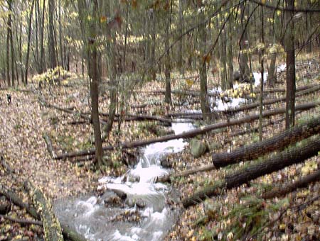
The Chamomile River today in an unusual flood stage at the Stick Trail's ford.
Sally is visible to the extreme left.
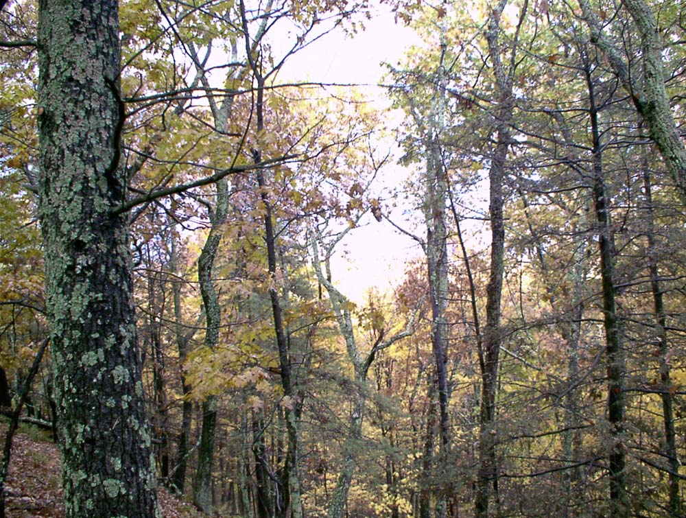
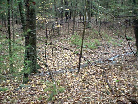
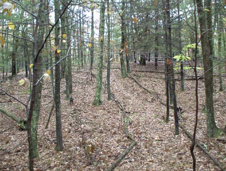
Forest along the Stick Trail. Click to enlarge.
The fork on the Stick Trail. The Stick trails continues left and the
Chamomile Headwaters Trails starts to the right.
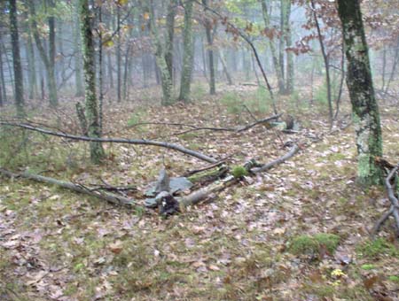
Forest along the Stick Trail.
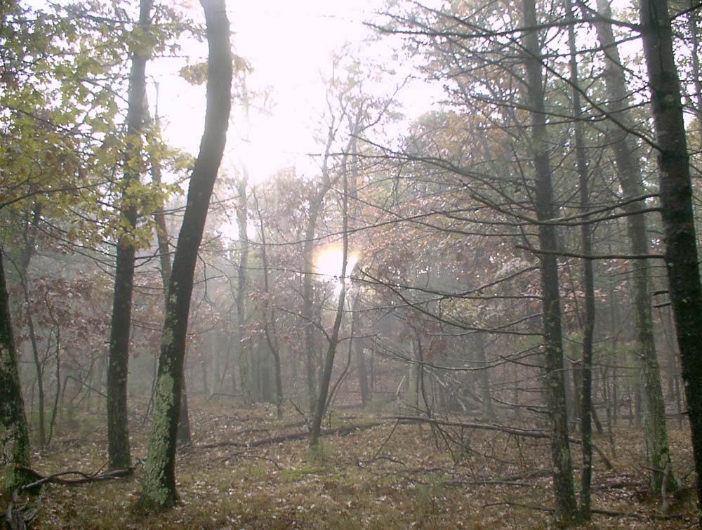
Sunset along the Stick Trail, circa 3:30pm. Click to enlarge.
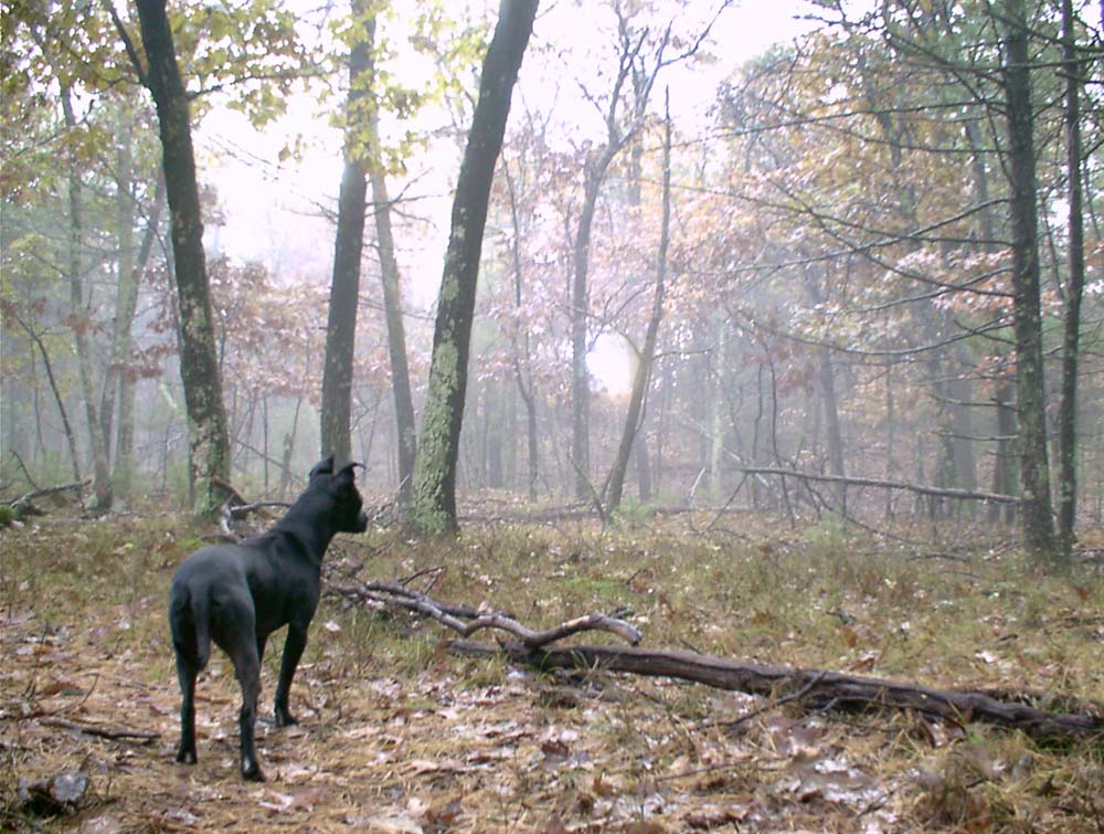
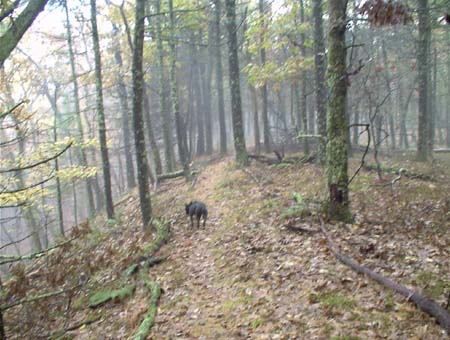
Eleanor along the Stick Trail, contemplating the sunset. Click to enlarge.
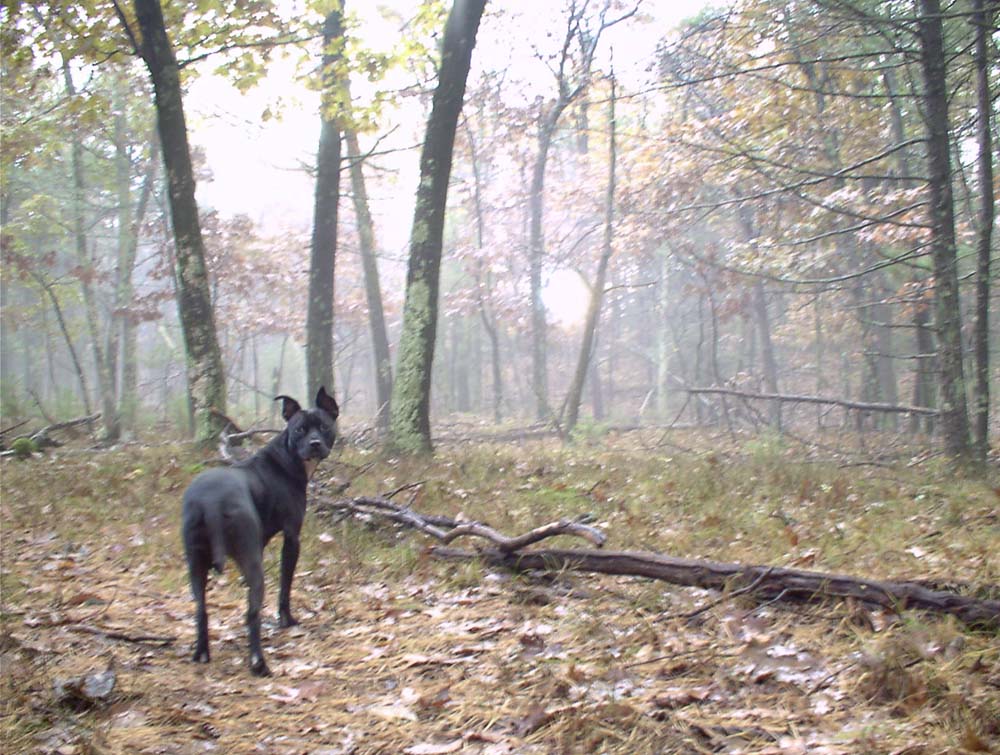
Eleanor turns to face the camera. Click to enlarge.
The Canary Hill Trail crossing the valley between Funky Pond Hill (foreground) and Canary Hill (background).
A stream normally isn't visible here.
The Canary Hill Trail a hundred feet further east.
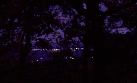
The lights of Kingston, circa 5:10pm local time, viewed from the Stick Trail
near the Chamomile Headwaters Trail fork.
For linking purposes this article's URL is:
http://asecular.com/blog.php?031029
previous | next